Our Drone Services
-
-
-
-
We offer a wide range of inspection services for rooftops, storage tanks, cell and radio towers, solar panels, and bridges.
Safely collect actionable data of your subject with high-definition aerial images. Understand the condition of a structure and the current equipment installed. Make better, more informed decisions enabled by drone photography.
-
Get maps geo-referenced orthomosaics, and real-time project updates. Take measurements from aerial photographs and convert images of land masses into maps, 3D models, or drawings.
-
Produce valuable 3D models of construction sites, commercial properties, or buildings. With advanced software, we combine data from multiple images to produce your 3D models. Visualize your property, measure volume, and calculate area.
-
Get maps geo-referenced orthomosaics, and real-time project updates. Take measurements from aerial photographs and convert images of land masses into maps, 3D models, or drawings.
WHERE TO USE DRONE AERIAL PHOTOGRAPHY?
✓ Marketing Materials & Media
✓ Commercial Real Estate
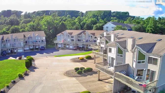
✓ Residential Real Estate
✓ Construction Progress Documentation
✓ Vertical Aerial Photography
✓ Property Inspections
✓ Surveying & Mapping
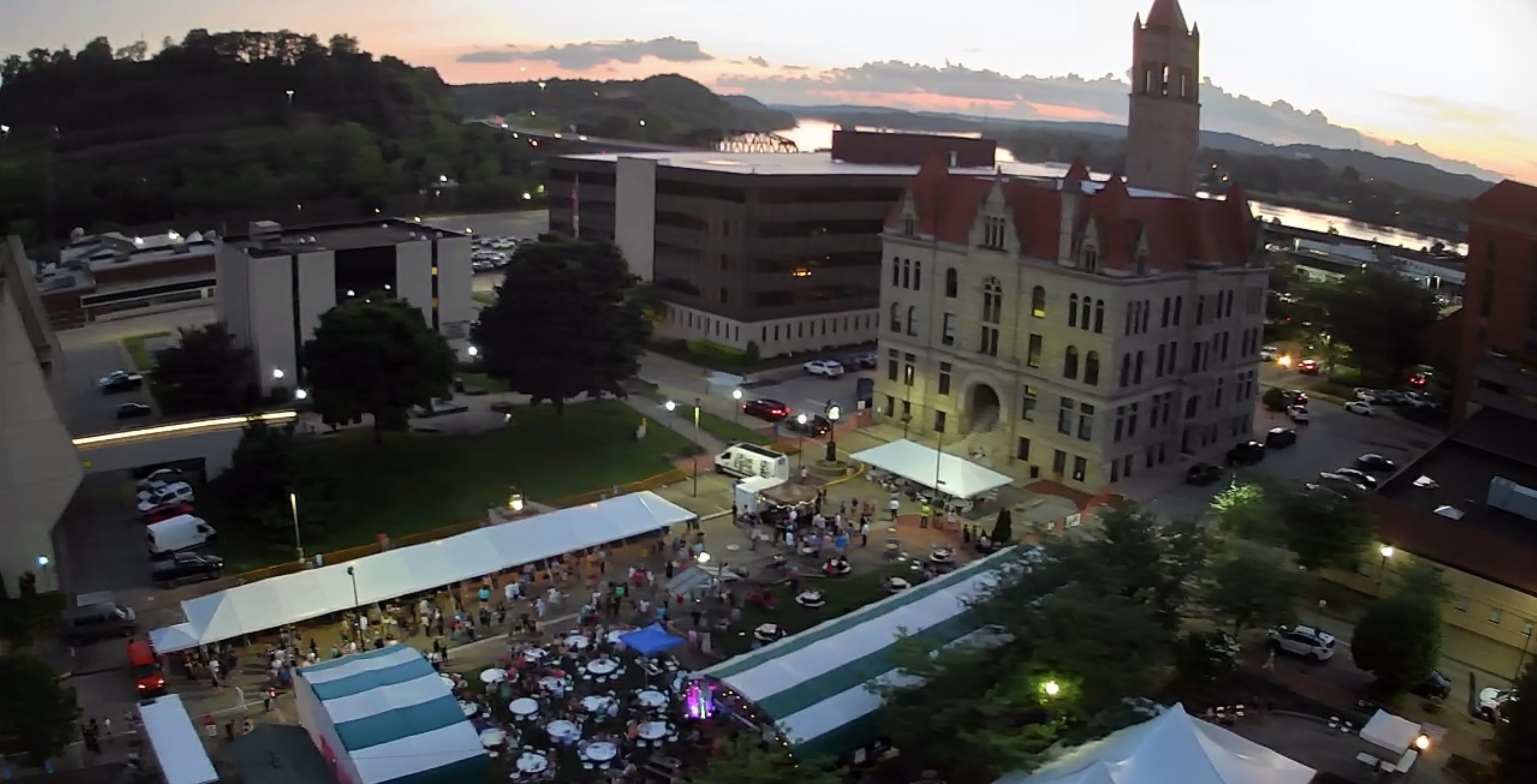
✓ Events


